It is now over four months since we have been in our house in Thézan-lès-Béziers and I am begining to fret a little.
I went back through some shots I took of the village during the summer and decided they were interesting enough to be posted.

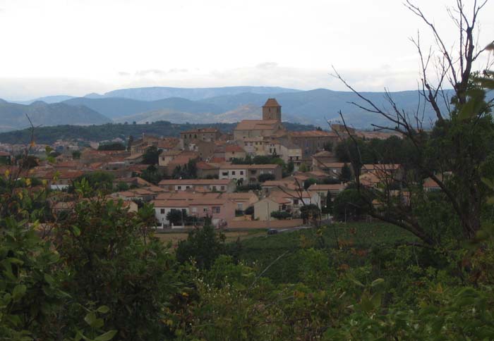
This is the village taken from the Pech – Languedoc for little hill- across from the house.It was taken in the evening when the sun had left the village but was still shining on the hills behind.
It gives a good idea of the siting of the town, on its own pech, and its delightful setting sheltered from the north by the mountains of the Parc National de Languedoc.

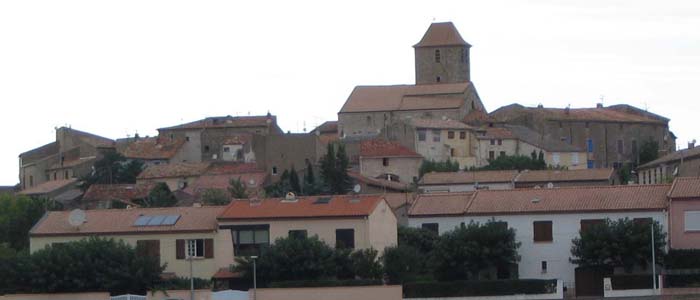
This one is taken from just under the village.
If you look closely you can follow the line of the old walls of the village surrounding the church which are now all being occupied as houses.

Ours being on the extreme left, complete with tree in the garden.
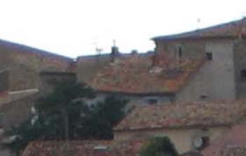
Looked at from here it looks like (and probably once was) two houses
built back to back, one being part of the original town wall.
Delightful to think we will be there in less than two weeks.

Comments
Paul
on March 6, 2008Great pictures, Martin. I suppose you have found Thézan-lès-Béziers on Google Earth. A search of “Thézan-lès-Béziers” flies you straight there. All the roofs look alike. What is the exact Lat. and Long. of the house?
Martin
on March 6, 2008A good question, the best I can make out is Lat 43 degrees 25.3 North
Long. 3 degrees 10.3 East that is If I have read the instructions correctly!
Will you be able to find us at Easter?
paul
on March 6, 2008You simply put the cursor at the house and you’ll see the lat/long in the bottom left corner.
Enjoy France at Easter – in spite of the builders. We’re driving down to San Sebastian.
Martin
on March 6, 2008Aha! Thank you ! But I wasn’t too far out. Correct reading should be
432516.70 N
31014.47 E
The comments are closed.